
Persistent heavy rains pounding Kenya have begun to disrupt some of the country’s most visited natural spaces, with Karura Forest partially closed after rivers burst their banks.
The popular urban forest, managed by the Kenya Forest Service, has shut down several key visitor areas as rising water levels and waterlogged trails create dangerous conditions for walkers, cyclists, and families who frequent the green sanctuary on the edge of Nairobi.
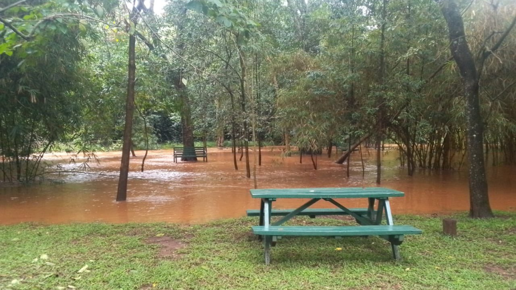
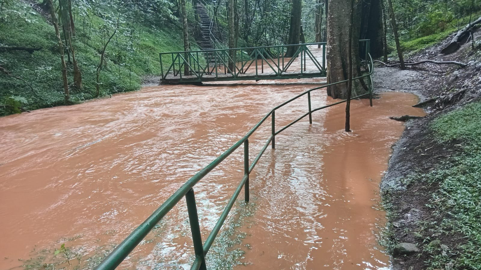
Authorities have declared the caves, waterfalls, bridges, and the Ruaka Picnic Site off-limits after swollen rivers spilled over into surrounding trails. Forest officials say the closures are necessary to prevent accidents as the heavy rains continue.
“The rivers are swollen, and paths are unsafe,” the Kenya Forest Service said in a safety advisory, urging visitors to avoid riverbanks and respect the temporary restrictions until water levels subside.
Karura Forest, one of Nairobi’s most cherished recreational spaces, attracts thousands of visitors each week for jogging, cycling, and nature walks. However, the current flooding has made several sections inaccessible, forcing authorities to prioritize safety over public access.
Officials say the affected areas will remain closed until the rivers recede and safety inspections confirm that trails, bridges and visitor infrastructure are secure again.
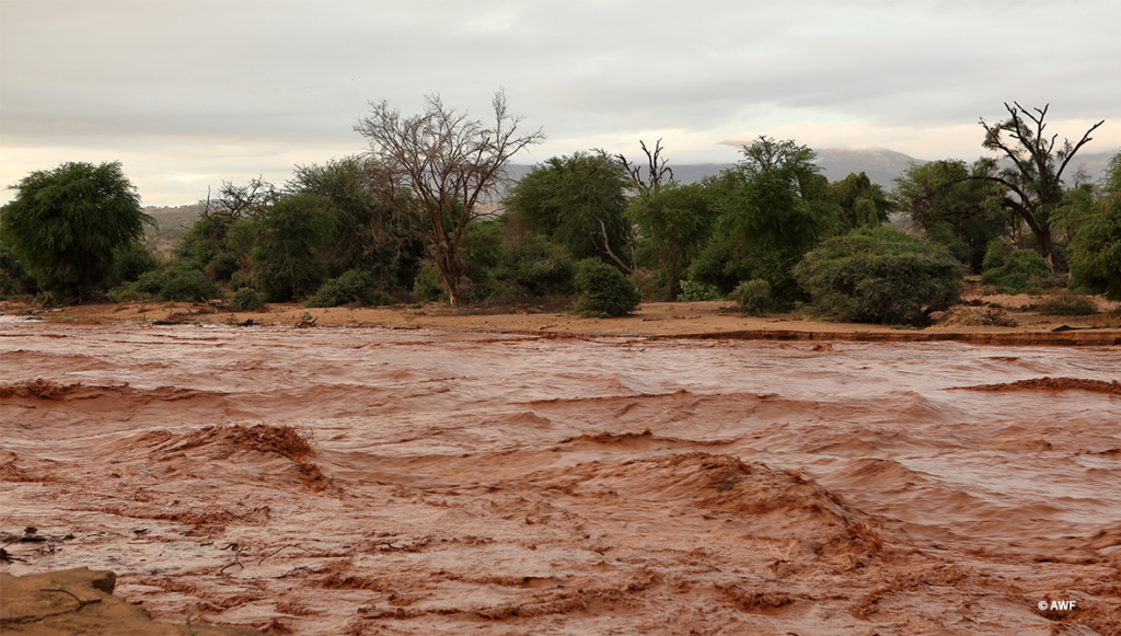
The flooding in Karura is part of a wider pattern of heavy rainfall currently affecting different parts of the country and placing pressure on Kenya’s protected landscapes.
Meteorologists warn that unusually intense rainfall events are becoming more frequent, a trend widely associated with Climate Change, which is amplifying weather extremes across East Africa.
Rising temperatures increase evaporation and moisture in the atmosphere, often resulting in heavier downpours that can overwhelm rivers and drainage systems in both urban and rural environments.
The impact of the rains is already being felt in several national parks where authorities have issued alerts over flooding and impassable routes.
In Tsavo East National Park, the Kenya Wildlife Service has flagged a number of internal roads as inaccessible due to flooded river crossings.
The Sala Gate on the Malindi route and areas around Aruba have been affected by rising water levels, forcing park officials to redirect visitors to alternative entry points at the Bachuma and Voi gates.
Meanwhile, Nairobi National Park remains open, but several sections have become waterlogged following days of persistent rainfall.
Low-lying crossings within the park are particularly vulnerable to sudden flash floods, prompting the Kenya Wildlife Service to warn drivers of smaller vehicles to stick to higher-ground murram roads.
Authorities have also placed Amboseli National Park and Hell’s Gate National Park on high alert as heavy rains continue across the region.
Hell’s Gate is considered especially vulnerable because its narrow gorges can experience sudden flash floods that arrive without warning, sometimes triggered by rainfall far upstream.
Conservation authorities say they are closely monitoring water levels and road conditions across protected areas as the rains persist.
For now, visitors and residents are being urged to exercise caution, avoid flooded trails and follow advisories issued by park and forest authorities until conditions stabilize.