
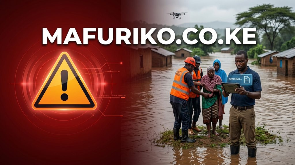

As Kenya prepares for the possibility of heavy rains and flooding during the October–December season, a new community-powered platform is seeking to keep Kenyans informed of what is happening on the ground in real time.
Called Mafuriko, the free online platform, mafuriko.co.ke, maps flood-prone locations in Nairobi and allows members of the public to report flooding and other emerging conditions during El Nino. The platform was developed by Esoteric Strats and is powered by AIVERSE Africa.
Its launch comes as national and county governments step up preparations for the anticipated El Niño rains, with all 47 counties required to identify flood-prone areas, evacuation grounds and measures to protect communities and critical infrastructure.
Mafuriko brings together information on historical flood hotspots, rainfall data, affected roads and reports submitted by residents. The developers say the objective is to build a more immediate picture of flooding from information generated by people experiencing it.
That community reporting element could be particularly relevant during rapidly developing floods, when conditions can change faster than official assessments can be communicated.
The platform is positioned as a public awareness and information tool, rather than an official early-warning or weather forecasting system.
Mafuriko adds a different layer to the preparedness effort through citizen-generated situational information.
“A resident who encounters a flooded road, rising water or an affected neighbourhood can submit a report, potentially providing information that may be useful to other residents and response actors,” the platform information segment says.