
This year’s El Niño has more than a 90 per cent chance of becoming the strongest event observed since records began in the 1870s, as exceptionally warm Pacific waters raise the prospect of sharply contrasting weather risks around the world.
In an article in Nature, climate scientist Zeke Hausfather says sea-surface temperatures in the central tropical Pacific were about 2.9°C above the current 30-year climate baseline in early September. That was more than 1°C warmer than at the same stage of the powerful 1997 and 2015 El Niño events.
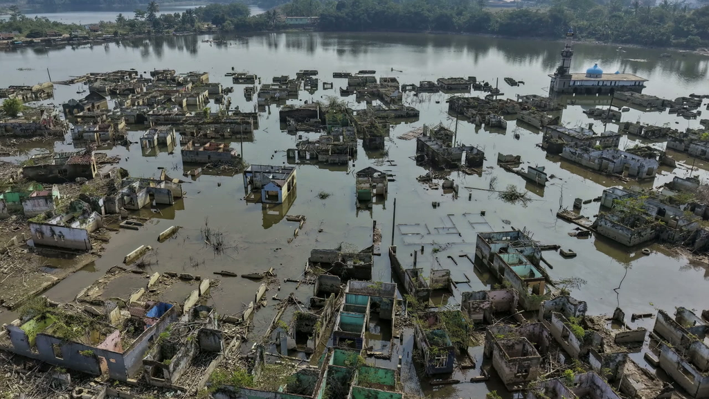
For the Horn of Africa, one of the clearest risks is unusually heavy short rains and flooding between October and December 2026, particularly across parts of Kenya, Somalia and Ethiopia. The scale of the impact will also depend on the Indian Ocean Dipole (IOD), another major climate driver that affects rainfall in the region.
The regional outlook from the IGAD Climate Prediction and Applications Centre (ICPAC) points in the same direction. It gives a 90 per cent chance of enhanced rainfall over southern Ethiopia, central and southern Somalia, and north-eastern Kenya during the October–December season.
ICPAC also forecasts a high likelihood of seasonal rainfall exceeding 400 millimetres in parts of central and southern Somalia, central Kenya and the Lake Victoria Basin, as well as parts of Burundi, western Rwanda and western Tanzania.
ICPAC also expects warmer-than-average temperatures across much of the region, with particularly high probabilities over eastern Kenya, Ethiopia, Eritrea, Djibouti and Somalia.
El Niño is the warm phase of a recurring climate pattern marked by unusually warm sea-surface temperatures in the central and eastern tropical Pacific. The warming alters atmospheric circulation, shifting rainfall and temperature patterns thousands of kilometres away.
The World Meteorological Organization (WMO) forecasts nearly 100 per cent likelihood that the event will persist through February 2027, reaching very strong intensity before peaking towards the end of the year.
The global assessment highlights the contrasting hazards expected elsewhere. Southern Africa faces drought between December 2026 and February 2027, with risks to maize production and food security. The region is one of the most consistent drought hotspots during El Niño events.
During the four strongest El Niño events between 1980 and 2016, southern Africa had roughly an 80 per cent chance of below-normal rainfall during the December–February wet season, Hausfather writes. The 2023–24 event triggered severe drought and disaster declarations in Zimbabwe, Zambia and Malawi. During the 2015–16 El Niño, South Africa’s maize harvest fell by nearly half.
These risks show how one climate event can threaten communities through very different pathways such flooding in parts of East Africa, and drought, crop losses and fires in other regions.
*Based on the Nature World View by Zeke Hausfather, “The worst El Niño in recorded history is brewing — here’s how governments must prepare,” published 22 September 2026, and the ICPAC regional forecast.*