
Nyeri County has the highest proportion of forest cover in Kenya, with forests occupying 45.76 per cent of its land area, according to a new report by the Kenya National Bureau of Statistics (KNBS). The Kenya Natural Capital Accounts for Forests report puts Nyeri’s forest area at 152,155 hectares in 2024, up from 146,396 hectares in 2019.
Nationally, forest area increased from about 3.47 million hectares in 2019 to 3.59 million hectares in 2024, raising forest cover from 5.86 per cent to 6.07 per cent of the country’s land area. The net gain of 124,003 hectares reflects an estimated 342,427 hectares of afforestation against 218,424 hectares lost through deforestation over the five-year period.
The figures point to a positive shift after decades of decline. But they also show why tree-growing targets cannot be treated as a substitute for protecting established forests.
After Nyeri, Lamu has the second-highest proportion of forest cover at 41.76 per cent, followed by Elgeyo-Marakwet at 31.37 per cent, Nandi at 30.47 per cent and Bomet at 29.41 per cent.
Turkana recorded the largest net increase in forest area between 2019 and 2024, gaining 23,978 hectares. Nandi added 17,134 hectares, Makueni 14,657 hectares, Kakamega 11,184 hectares and Migori 8,236 hectares.
However, several counties recorded losses. Narok lost an estimated 13,800 hectares, while Kiambu lost 2,128 hectares, Mandera 1,948 hectares, Lamu 1,458 hectares and Wajir 1,059 hectares.
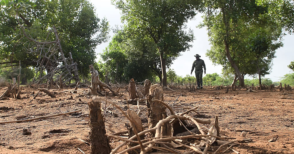
The report identifies forest excisions, agricultural expansion, illegal logging, inadequate enforcement and urbanisation among the factors associated with Kenya’s long-term decline in forest area.
The findings come amid renewed public scrutiny of forest protection with recent concerns about trees cutting in forest areas including Geta, Kereita, Karura and the Aberdare ranges.
Kenya’s forests are critical to water security, energy and livelihoods. The KNBS report says forests support the livelihoods of more than four million people, while the five major montane water towers of the Mau Forest Complex, Mount Kenya, the Aberdare Ranges, the Cherangany Hills, and Mount Elgon supply about 75 per cent of the country’s freshwater.
Forests also provide more than 60 per cent of national energy needs through wood fuel and charcoal, underlining the connection between forest management, household energy and the wider economy.
The report’s assessment of tree resources includes biomass from agroforestry, woodlands, plantation forests and private forests. It estimates that agroforestry supplied an average of about 6.06 million tonnes of biomass annually over the period, showing the contribution of trees grown on farms to the country’s wood-resource economy.
Under Kenya’s national definition, forest land must exceed 0.5 hectares, have at least 15 per cent canopy cover and contain trees at least two metres tall, and it must not be primarily under agriculture or another specified non-forest use.