
Kenya is likely to experience unusually heavy rainfall during the October-to-December short-rains season, with some areas facing an 85 to 90 per cent likelihood of above-normal rainfall, according to a national forecast issued on Wednesday, August 26.
The Kenya Meteorological Service Authority said the expected strengthening of El Niño, together with evolving conditions in the Indian Ocean, could increase rainfall over large parts of the country. Some areas may begin receiving pre-season showers in September before the main rains become established in October.
The outlook was released at the conclusion of the 13th National Climate Outlook Forum, held from August 24 to 26 to assess the likely performance and effects of the 2026 short rains.
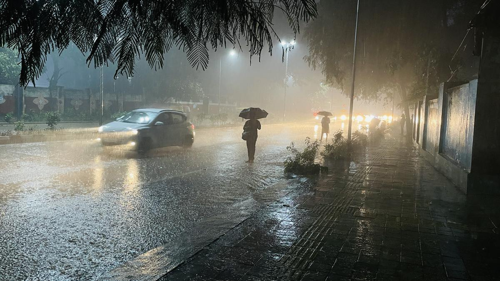
The wettest conditions are expected over parts of the Coast, north-eastern Kenya, the Lake Victoria Basin, central highlands and Rift Valley. Nairobi and other major urban centres are also exposed to flooding if intense rainfall overwhelms drainage systems.
Kenya Met, however, cautioned that the presence of El Niño does not guarantee heavy rainfall in every part of the country.
“Under evolving El Niño conditions, preparedness must be strengthened. However, El Niño does not automatically mean heavy rainfall everywhere; other atmospheric and oceanic factors must continue to be monitored,” Kenya Met Director Edward Muriuki said during the opening of the forum.
El Niño is a periodic warming of the central and eastern tropical Pacific Ocean that alters atmospheric circulation and rainfall patterns around the world. In East Africa, it is often associated with wetter short-rains seasons, but its local influence depends partly on conditions in the Indian Ocean.
A positive Indian Ocean Dipole, in which waters in the western Indian Ocean become warmer than those in the east, can direct additional moisture towards East Africa and intensify rainfall. The combination of El Niño and a positive dipole contributed to severe flooding in Kenya in 1997 and 2023.
The national outlook is consistent with a regional forecast released by the IGAD Climate Prediction and Applications Centre on August 18. The regional assessment� gives north-eastern Kenya a greater than 90 per cent probability of receiving above-normal rainfall.
It also indicates that central Kenya and the Lake Victoria Basin have a greater than 90 per cent probability of accumulating more than 400 millimetres of rain between October and December. Early or normal onset is more likely in central and eastern Kenya, although the precise timing will differ between locations.
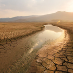
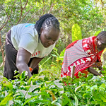
The forecast presents mixed prospects for farmers and pastoralists. Adequate rainfall could improve soil moisture, replenish water sources and support the recovery of pasture in arid and semi-arid counties. Farmers could also benefit from a longer growing period if they receive timely advice on planting dates and suitable crops.
Excessive rain, however, could waterlog farms, wash away seed and fertiliser and destroy crops nearing maturity. Flooding could kill livestock, restrict access to grazing areas and markets, and increase outbreaks of animal diseases.
Communities living near the Tana, Athi-Galana-Sabaki, Nzoia, Nyando, Ewaso Ng’iro, Kerio, Turkwel and Mara river systems face additional danger because heavy rainfall upstream can send large volumes of water into downstream settlements, even where local rainfall is not exceptionally high.
The government has identified 18 counties requiring priority preparedness because of their exposure to flooding, landslides, drought, food insecurity and disease outbreaks. They include Tana River, Kilifi, Lamu, Kwale, Busia, Siaya, Homa Bay, Migori, Turkana, West Pokot, Narok, Baringo, Garissa, Wajir and Mandera. Nairobi, Mombasa and Kisumu have been listed among the high-risk urban centres.
In Nairobi, informal settlements located near rivers and poorly drained neighbourhoods face the greatest danger. Blocked drainage channels, construction on waterways and inadequate storm-water systems can turn intense rainfall into destructive flash floods within hours.
Hilly areas of West Pokot, Elgeyo Marakwet, Murang’a, Nyeri, Meru, Narok and parts of the western highlands could experience landslides where prolonged rain saturates soils. Road cuts, cultivated slopes and areas stripped of vegetation may be especially unstable.
Public-health risks could also rise. Floodwater can contaminate wells and piped-water systems, while stagnant water provides breeding sites for mosquitoes. Damage to roads and bridges may interrupt access to schools, hospitals and markets.
Kenya Met said forecasts must be translated into early decisions rather than treated merely as warnings.
“Climate information must be understandable, relevant and actionable,” Muriuki said.
County governments now have several weeks to clear drains, inspect bridges, reinforce vulnerable riverbanks, mark evacuation routes and prepare temporary shelters. Farmers and pastoralists will require local advisories because the national forecast does not mean that rain will begin on the same date or fall evenly in every county.