
Kenya is testing satellite imagery and machine learning to improve tree-cover monitoring, as the country seeks to grow 15 billion trees and achieve 30 per cent tree cover by 2032.
A pilot project in Makueni County has demonstrated how satellite-based mapping can help authorities track trees both inside gazetted forests and on farms, private land and other areas outside protected forests. The approach could strengthen restoration planning and help the Kenya Forest Service (KFS) assess progress towards national tree-growing targets.
The 2026 assessment found that tree cover accounted for 14.72 per cent of Makueni County, while forest cover stood at 6.83 per cent. The satellite-based classification achieved an overall accuracy of 84.4 per cent, indicating its potential to support forest management and environmental planning.
The pilot, implemented by KFS with support from the Japan International Cooperation Agency (JICA), used Sentinel-2 satellite imagery and a Random Forest machine-learning algorithm to classify tree cover. The technology offers a potentially scalable way to generate forestry data, although the assessment identified limitations in detecting scattered and newly planted trees, as well as difficulties obtaining clear imagery during wet seasons.
The Makueni pilot offers a starting point, but wider testing and continued technical improvements will be necessary before the approach can reliably support tree-cover monitoring across Kenya’s varied landscapes.
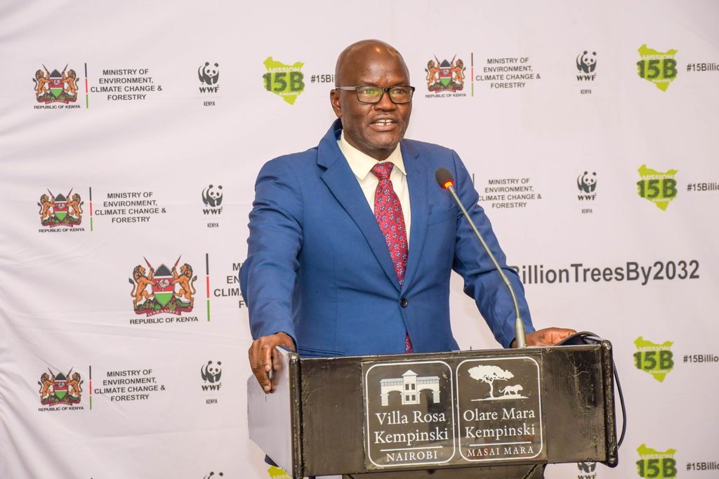
Speaking at the final seminar of the Strengthening Forestry Sector Development and Community Resilience to Climate Change through Sustainable Forest Management and Landscape Restoration (SFS-CORECC) project, Senior Deputy Chief Conservator of Forests Dr Clement Ng’oriareng’, representing Chief Conservator of Forests Alex Lemarkoko, said the monitoring tools developed through the initiative should become part of routine KFS operations.
He called for continued capacity-building, regular data updates and clear institutional responsibilities to ensure the system remains useful beyond the project period.
However, improving tree-cover monitoring is only one part of Kenya’s forestry challenge. The country must also ensure that restoration efforts deliver long-term ecological benefits and create economic opportunities for communities, particularly in dryland areas where conventional forestry models may be less suitable.
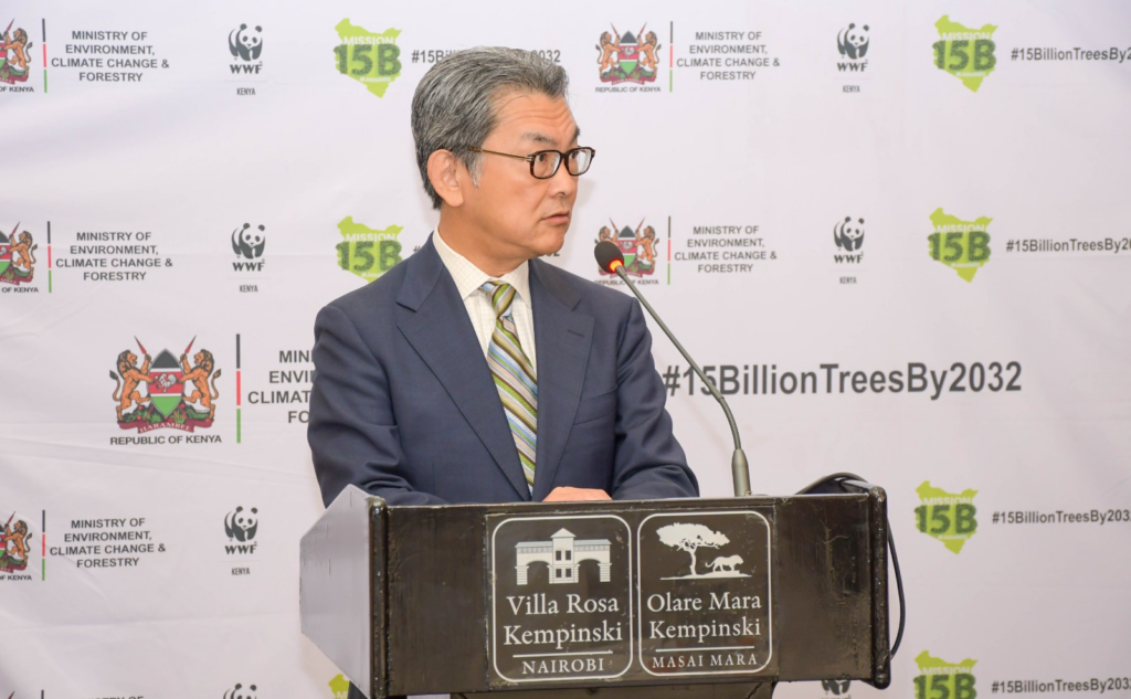
“The National Commercial Forestry Strategy 2025–2035 provides a clear framework for advancing this agenda. Our responsibility is to translate its strategic direction into practical actions and measurable results,” Ng’oriareng’ said.
The project, he said, has supported policy development, forestry extension, tree breeding and genetic improvement, including the development of second-generation Melia volkensii suited to dryland conditions. It has also strengthened forest information systems and promoted knowledge-sharing among forestry institutions in East Africa.
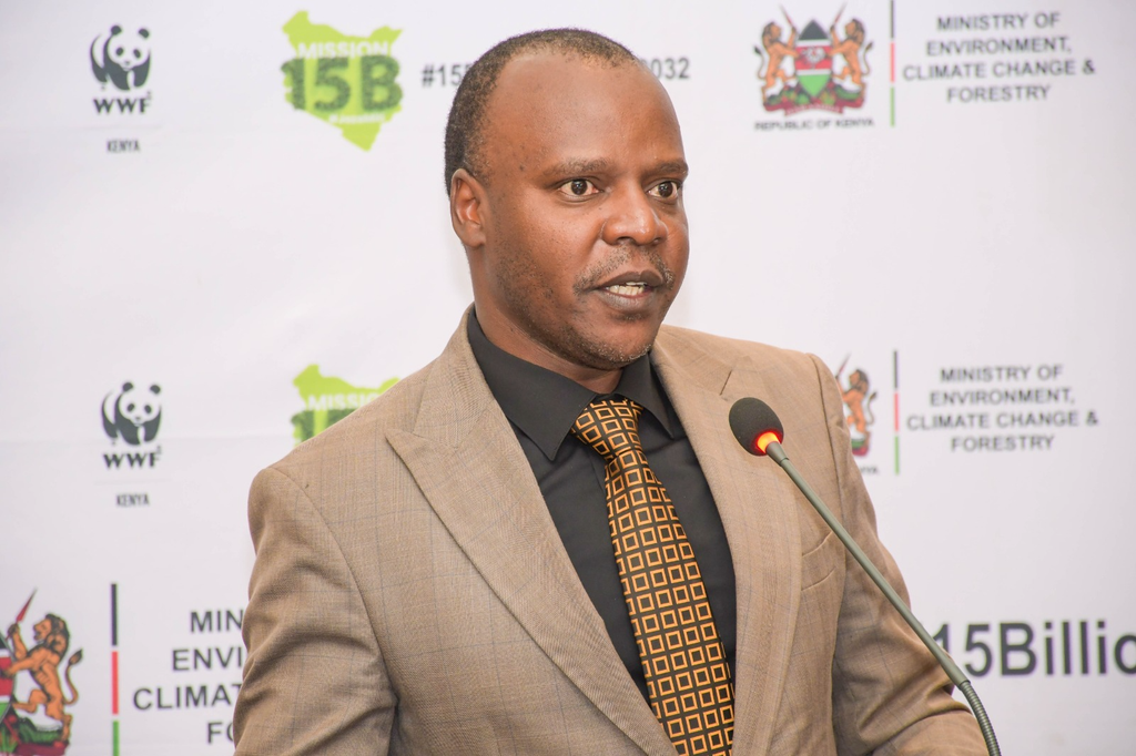
In a speech read on his behalf by Forest Development Secretary George Tarus, Forestry Principal Secretary Mugambi Gitonga called for commercially viable forestry models capable of attracting investment from communities and the private sector.
“The future of forestry is not only about protecting forests. It is also about creating sustainable economic opportunities from them,” he said.
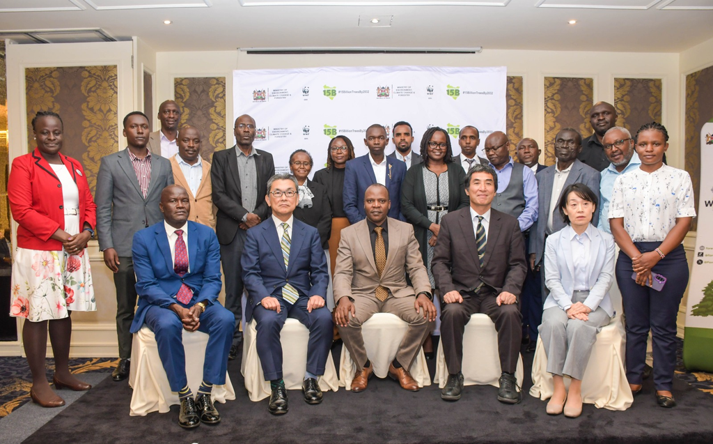
The KFS-JICA project’s final seminar brought together forestry stakeholders to review its achievements and consider how they could be sustained after the initiative ended.
Kenya and Japan have maintained a forestry-sector partnership spanning more than four decades.