
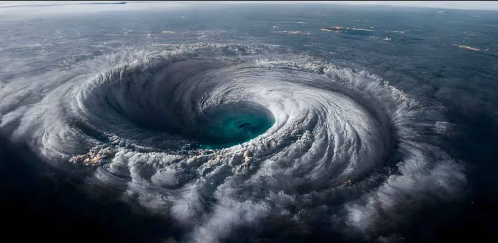

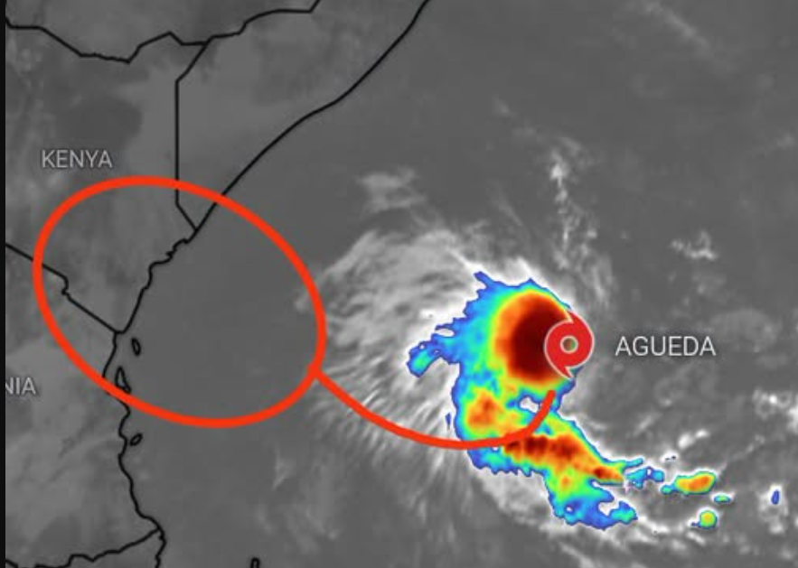
Tropical Storm Agueda is disrupting the formation of rain clouds over large parts of Kenya, helping explain why areas that had been forecast to receive early heavy rains are instead experiencing unusually hot and dry conditions.
According to meteorologist Maithya wa Vilivu, the storm is reinforcing atmospheric wind patterns over the Horn of Africa that are unfavourable for the development of deep clouds and rainfall, particularly across north-eastern and eastern Kenya, the Coast, Central Kenya and Nairobi.
The conditions have left these regions unusually sunny and hot as the October-November-December (OND) rainy season gets underway, raising questions among residents about forecasts of heavy rainfall associated with the El Niño phenomenon.
According to Vilivu, the prevailing wind patterns are interfering with rain-cloud formation, with attempts by clouds to develop over the affected areas being disrupted before they can produce significant rainfall.
The explanation comes as Kenyans contend with high temperatures despite forecasts pointing to the possibility of above-average rainfall during the season.
The explanation of the current conditions points to a more immediate atmospheric factor, meaning that even where moisture is available, unfavourable wind patterns can inhibit the upward movement of moist air needed for deep cloud development and rainfall.
The resulting clear skies allow more solar radiation to reach the ground, contributing to the high daytime temperatures being experienced across the affected regions.
The delayed rains are also occurring against a broader forecast of above-average temperatures in Kenya during the final quarter of 2026 and into early 2027, where temperature projections indicate anomalies of between 0.5 and 1.5 degrees Celsius above the seasonal average, with a median projection of about 1.1 degrees.
This means that even as rainfall eventually develops, temperatures may remain higher than normal in many parts of the country.
The situation highlights the complexity of predicting the timing and distribution of rainfall, particularly when several atmospheric and oceanic systems are interacting to influence weather conditions across East Africa.
The World Meteorological Organization (WMO) has warned that a very strong El Niño could have far-reaching consequences, including increased temperatures across large parts of the world.
WMO Secretary-General Celeste Saulo said the latest global outlook pointed to potentially significant impacts from the climate phenomenon, although the effects would vary by region.
For Kenya, the current hot and dry spell illustrates why a forecast of a wetter-than-normal season does not necessarily mean that rain will begin early or fall consistently across the country.
Vilivu says that the performance of the OND season remains uncertain because El Niño is interacting with other atmospheric and oceanic systems, including the Madden-Julian Oscillation, Kelvin waves and the Indian Ocean Dipole. These systems influence moisture movement and the development of weather systems that produce rainfall.
The combination of heat and delayed rainfall could increase pressure on water supplies, crops and livestock, particularly in communities that depend on seasonal rains for farming and pasture regeneration. The effects will depend on the duration of the dry spell and the amount and distribution of rainfall received in the coming weeks.
The WMO outlook shows that El Niño’s effects will differ across the world. Wetter-than-normal conditions are more likely in parts of East Africa during the October-December season, increasing the risk of flooding in vulnerable areas. Parts of southern Africa, meanwhile, face an increased likelihood of drier conditions from November.
Other regions, including parts of Southeast Asia and the Americas, also face varying risks of heat, rainfall deficits or excessive precipitation.