
Kenya’s coastal counties are projected to be the first to experience heavy rainfall associated with a strengthening El Niño and a positive Indian Ocean Dipole (IOD), according to an analysis of seasonal weather models.
According to weather and climate analyst Maithya wa Vilivū, moderate to heavy rainfall that are falling in the coastal counties are expected to continue before spreading to other parts of the country.
Mombasa, Kwale, Kilifi, Lamu and the Tana Delta area of Tana River County are already receiving significant rains with Mombasa receiving rainfall exceeding 100mm in the last 72 hours.
According to the forecast, the next in line are North Eastern counties of Mandera, Wajir and Marsabit. The forecast indicates that rainfall could subsequently extend inland, eventually reaching counties including Isiolo, Meru, Embu, Tharaka Nithi, Kitui, Garissa, Tana River and Taita Taveta by early to mid-October.
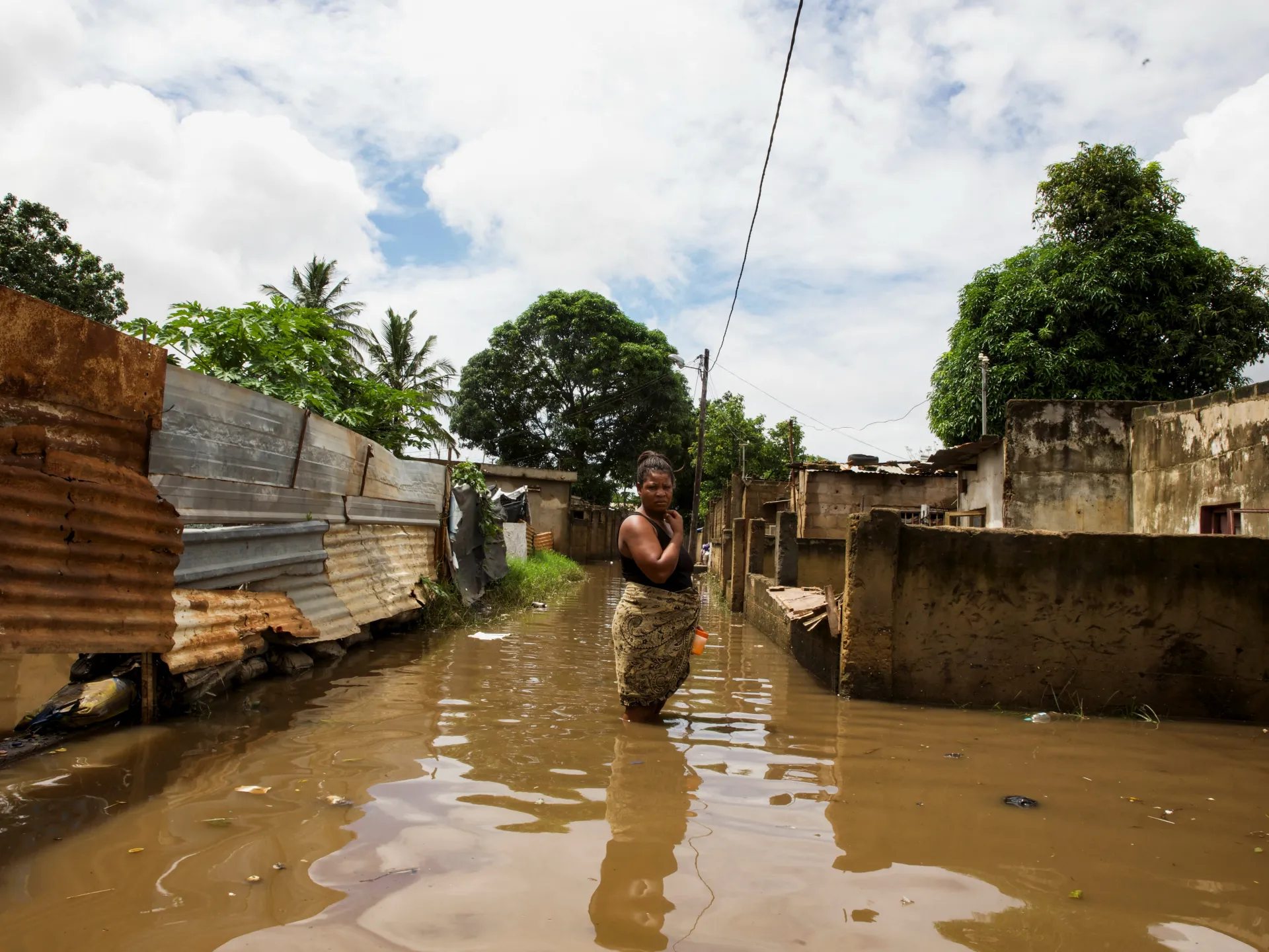
The projected coastal onset raises the risk of flash floods in Mombasa and other densely settled urban areas where inadequate drainage regularly causes roads, homes and businesses to flood. Low-lying settlements and communities near seasonal rivers in Kilifi, Kwale, Lamu and Tana River could also face displacement, crop damage and disruption of transport.
Tana River and Garissa may face an additional threat as heavy local rainfall combines with increased river flows from upstream catchments. This could expose communities along the Tana River to flooding, particularly in low-lying areas where homes, farms and livestock are concentrated.
The Water Resources Authority has warned that sustained heavy rainfall can cause rivers to overtop their banks, flood neighbouring settlements and damage water infrastructure. Saturated soils may also increase surface runoff and reduce the time available for communities to respond.
In the eastern counties, intense rainfall could produce flash floods along seasonal rivers and dry valleys. Motorists and pedestrians are particularly vulnerable when attempting to cross flooded roads or riverbeds, where water levels can rise rapidly even when rain has fallen many kilometres upstream.
The emerging forecast is consistent with the wider regional outlook. The World Meteorological Organization (WMO) said in August that the Greater Horn of Africa was expected to be warmer and wetter than usual during the final quarter of 2026 as El Niño strengthened.
El Niño occurs when surface waters in the central and eastern tropical Pacific Ocean become unusually warm, altering atmospheric circulation and rainfall patterns in different parts of the world. In equatorial East Africa, it is frequently associated with enhanced rainfall during the October–December season.
The IOD, which reflects differences in sea-surface temperatures between the western and eastern Indian Ocean, can reinforce that rainfall. When El Niño and a positive IOD occur together, the probability of widespread and unusually heavy rain over Kenya and neighbouring countries can increase.
The forecast gives national and county governments time to clear drainage systems, inspect bridges and culverts, identify evacuation centres and pre-position emergency supplies. Farmers will also need location-specific guidance on planting dates, crop selection, soil protection and livestock safety.
Residents should continue following forecasts and warnings issued by the Kenya Meteorological Department and disaster-management authorities as shorter-range predictions become available. These will provide greater detail on when hazardous rainfall is likely to occur and which areas face the most immediate danger.